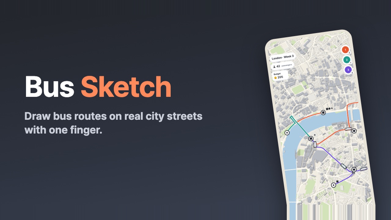
Bus Sketch: draw city bus routes on real city maps
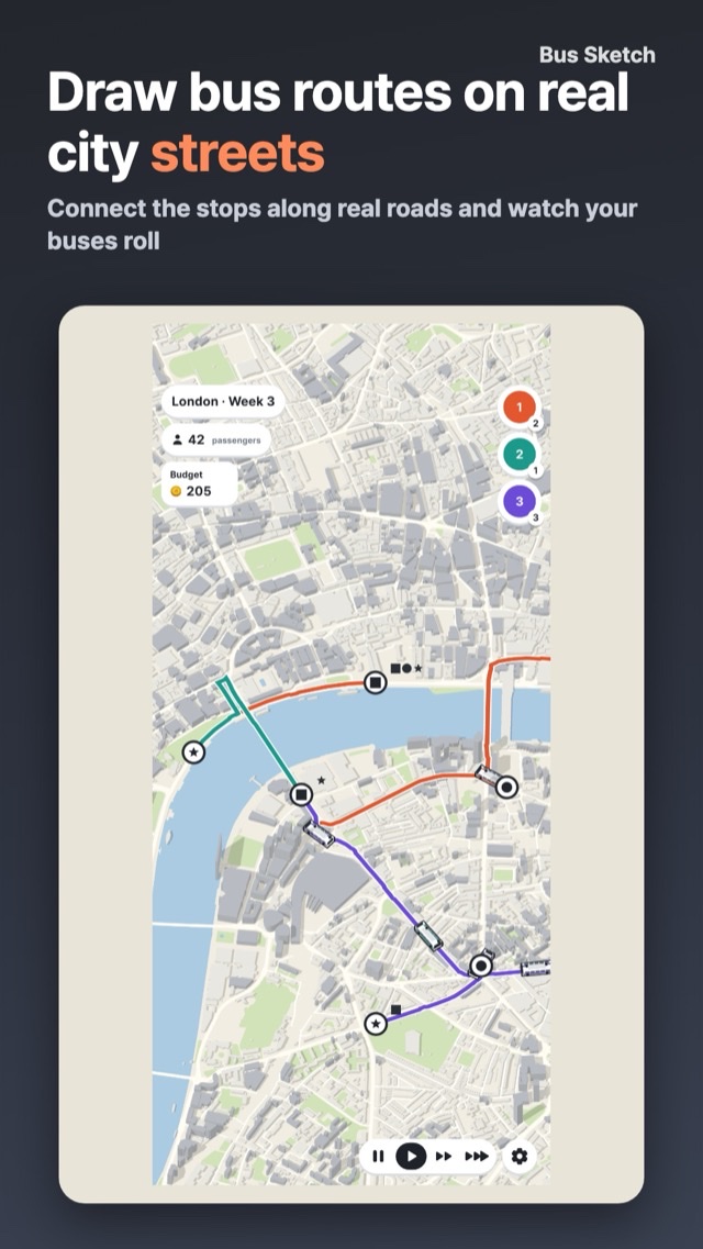
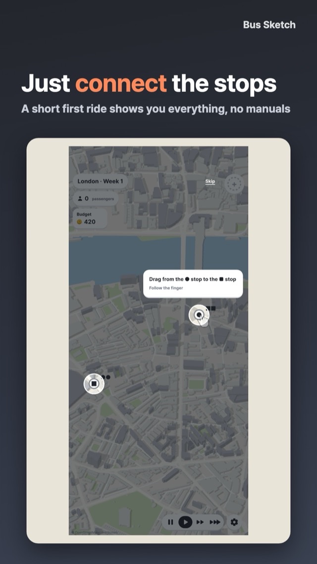
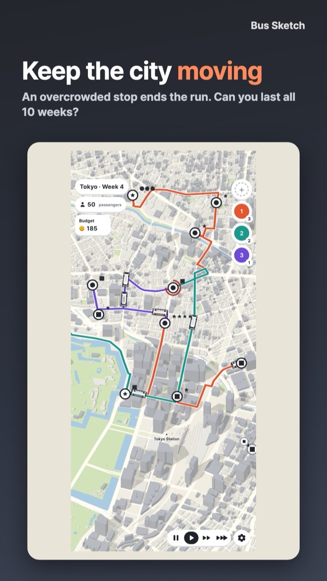
Drag from one stop to another and your route follows the real roads, with a bus on it right away. Passengers marked ● ■ ★ gather at stops; take each one to a stop with the same shape.
After each game, see your routes next to the city's real bus routes, and how many passengers you carried against the rival: a network the game builds on the same map and budget.
How to play
No transit jargon, no timetables. Drag to connect, add buses, tweak routes.
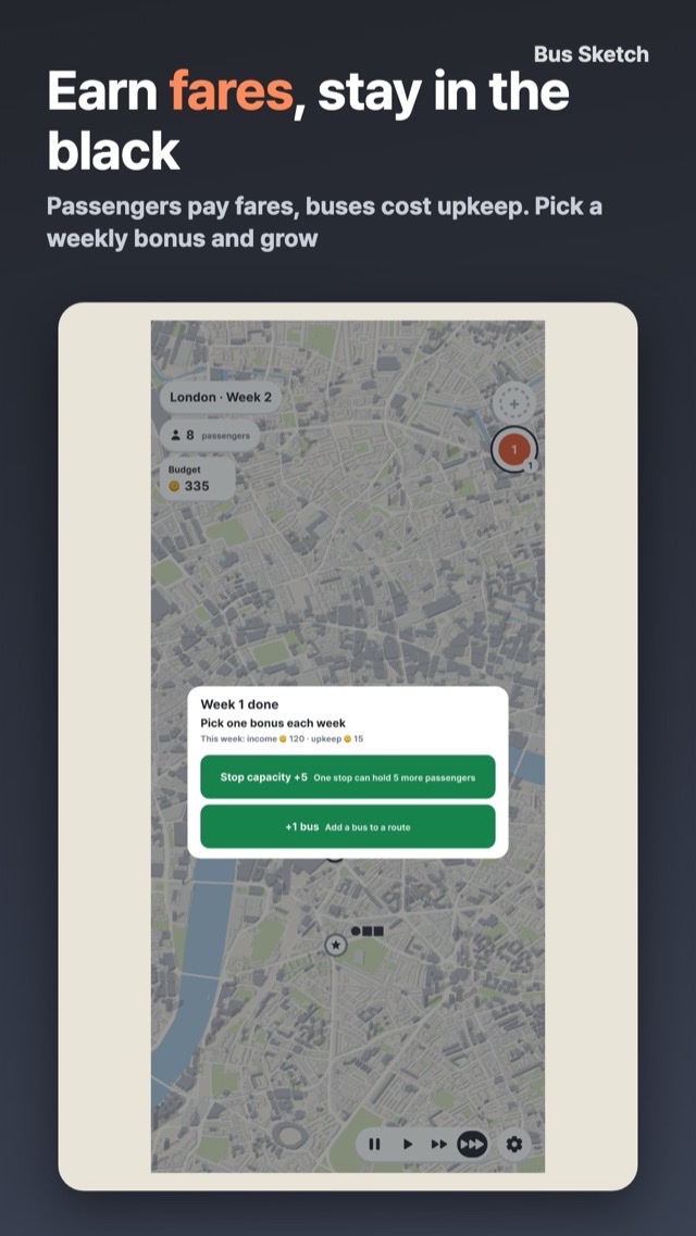
Fares pay for new stops, routes and buses. Upkeep is due every week, and two weeks in the red means bankruptcy. If a stop gets overcrowded, the game is over.
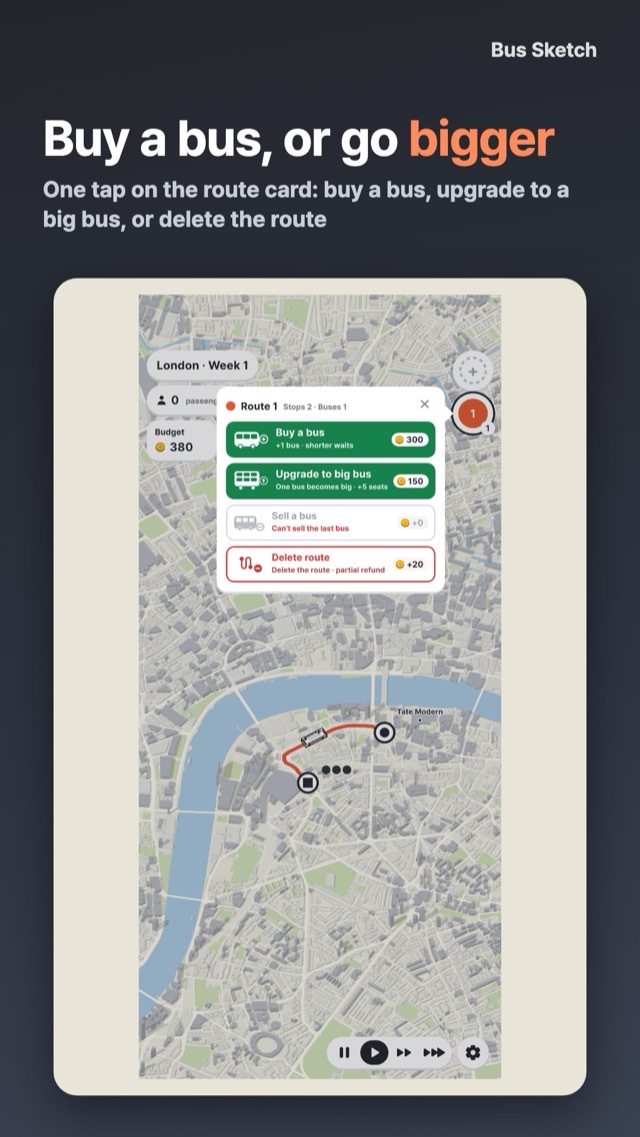
Every week, pick a bonus: a free bus, a big bus, a new route or more room at a stop.
Screens
Features and highlights
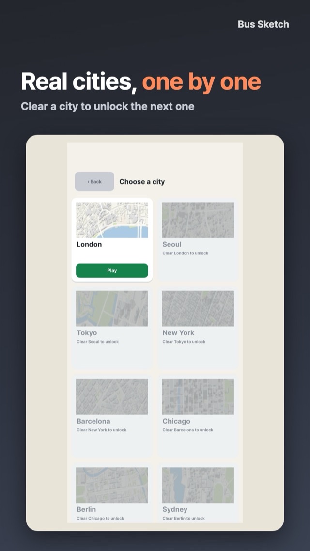
- Real cities Real city centres such as London, Seoul, Tokyo and New York, with real roads and buildings and stops placed where real bus stops stand.
- Stars and unlocks Once every stop has appeared, last one more week to clear a city. Carry more for two stars; carry 90%+ and stay out of the red for three. Clear a city to unlock the next.
- Against the rival See your network next to the city's real bus routes, and compare your passengers with a rival network the game builds on the same map and budget.
- A slightly 3D map Buses run across a tilted map of real city blocks. Play one-handed in portrait.
- Your own pace Pause any time or speed up. Save and pick up later.
- No account No account and no sign-up.
Sources
Map data © OpenStreetMap contributors, made available under the ODbL 1.0. Seoul bus stops and routes: Seoul Metropolitan Government, Seoul Open Data Plaza (KOGL Type 1). Seoul buildings: Korea Ministry of Land, Infrastructure and Transport, GIS building data via V-World (KOGL Type 1). Derived city data: https://dalgureum.dev/data/bus/README.txt
Bus Sketch asks for no account. It is not affiliated with any real bus company or transit agency.